
Map title
Study Area
Text Version
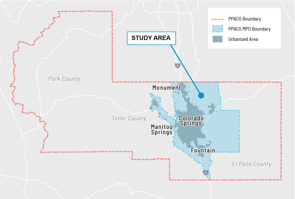
Map of the Pikes Peak Area Council of Governments (PPACG) boundary, denoted with red dashed lines. Within the red boundary is the first layer of the study area shaded in blue, which includes the cities of Colorado Springs, Fountain, Monument, and Manitou Springs. This first layer of the study area is called the PPACG MPO Boundary in the map’s legend. The second layer of the study area shaded in grey is contained within the first layer of the study area and is called the Urbanized Area in the legend.