
Title
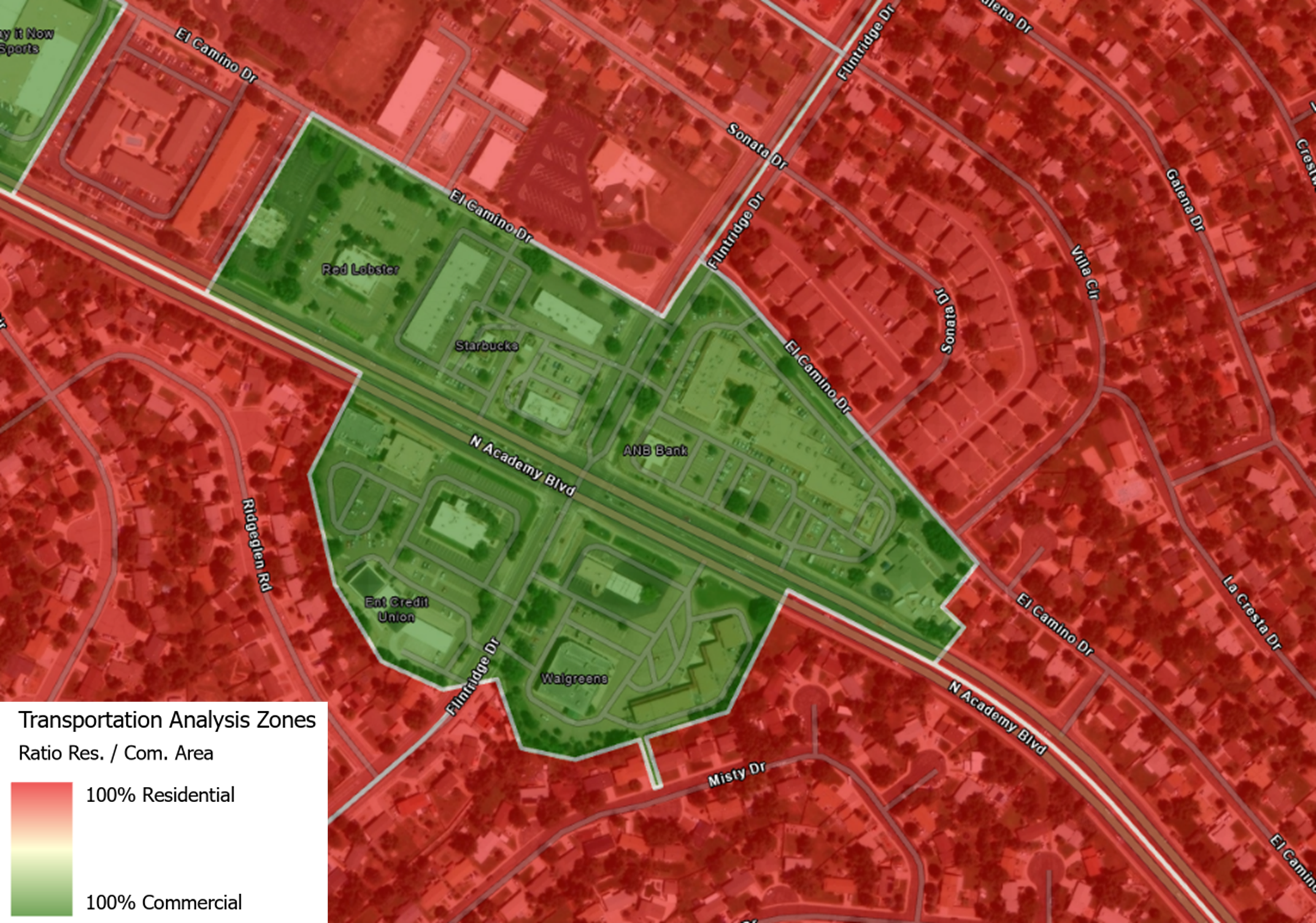
A detailed map of a 100% commercial TAZ surrounded by zones that are almost 100% residential, ensuring that all trips to and from the businesses in this zone are captured in the model
Text Version
The map shows the area around the intersection of North Academy Boulevard and Flintridge Drive in Colorado Springs.
The intersection is shaded in green, showing the transportation analysis zones are 100 percent commercial. The top left of the map also shows green shading.
The rest of the map is shaded in red, showing the transportation analysis zones are 100 percent residential.